Scroll down to Birdseye
Coming to Los Angeles we are not only leaving Europe but we will also move to the 20th century: we consider the turn in the city’s mobility system from rail and streetcar to the automobile as the most prominent one sustainably shaping her urban form towards extreme sprawl.
That LA is the Motown in the world is well known. That it had one of the largest intraurban rail and streetcar systems in the early years of the 20th centrury may be lesser known.
How did Los Angeles become a city where cars are the defining feature of urban life? How did that transformation come about?
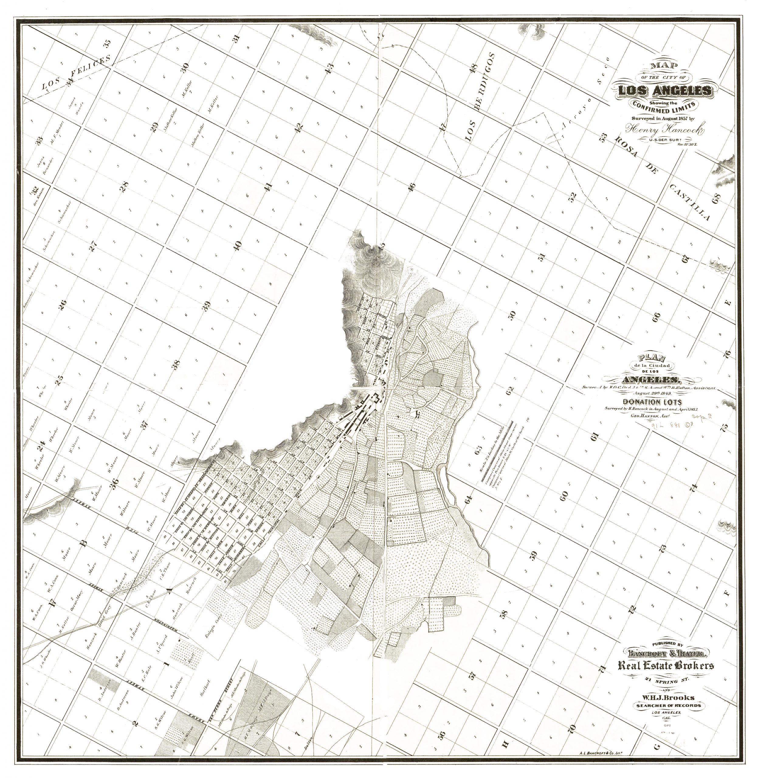
In the following I am referring to the book “Los Angeles and the Automobile” by Scott Bottles which tries to answer this question for LA, one of the most car-centric cities in the US. Brian Potter has summarized the book in a paper published by Construction Physics in 2023. Most of the following paragraphs are taken from this paper (in italic) – with some adaptions and additions. All maps and grafics are from my searches in various archives, especially the David Rumsay Map Collection, Los Angesles Public Library and Los Angeles Historical Photos from Water and Power Accociates.
Brian Potter describes this fundamental turning point in LA’s urban development:
Over a period of less than 30 years, Los Angeles was transformed from a city with streetcar and train-based transportation to one where the car reigned supreme.
LAs special urban development history
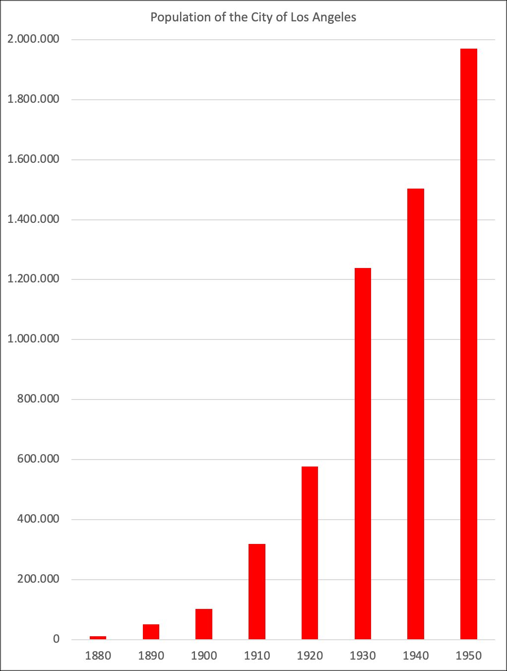
First founded in 1781, Los Angeles was a small city through the 19th century. As late as 1880 the city had only 11,000 people, compared to almost 2 million in New York and over half a million in Chicago.
At that time european cities looked like this: Vienna in 1843, Munich in 1849, London in 18…
But the city began to grow rapidly after the Southern Pacific Railroad connected it with the rest of the country in 1876. Between 1880 and 1930, LA grew on average around 10% per year, and from 1890 to 1930, when it hit 1.2 million inhabitants,
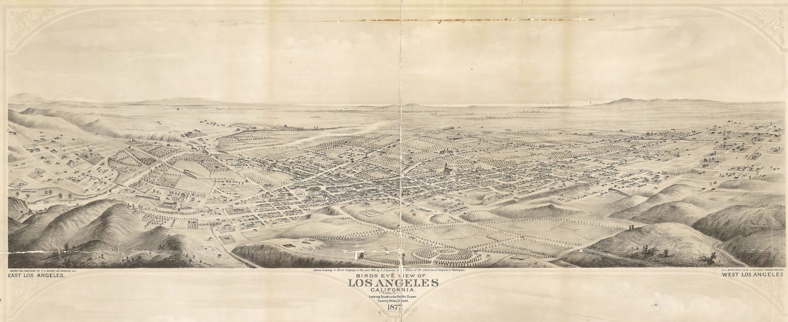
By 1909 Los Angeles had developed to a veritable city with a pretty compact city core as can be seen in this well designed bird’s view:
Los Angeles 1909 by Gates, Worthington Western Litho Birdseye View Publishing Co. Source: Library of Congress Geography and Map Division Washington, D.C. 20540-4650 USA dcu
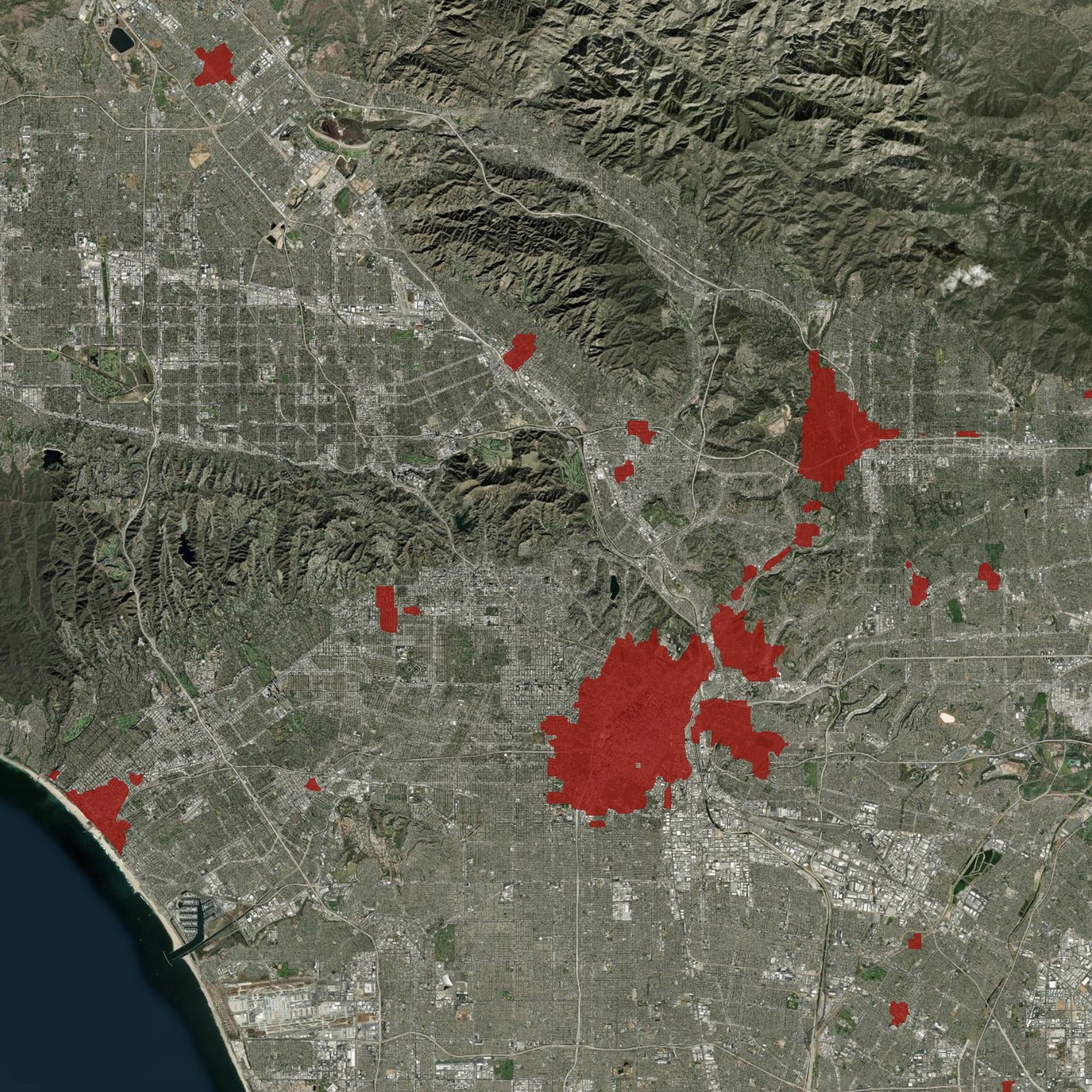
At this Point you may wish to have a look at the astonishing spacial expansion of Los Angeles Region as depicted on ESRI’s The Age of Megacities site, which we have mentioned in our chapter Physical Development of Cities: